High viewpoints and falling water
Between late May and early July, snowmelt turns every highland cleft into a roaring chute while five-metre snow walls still flank the asphalt above 1,100 metres. Knowing when to cross—and where to pull over safely—transforms a tense mountain drive into a calm alpine crossing.
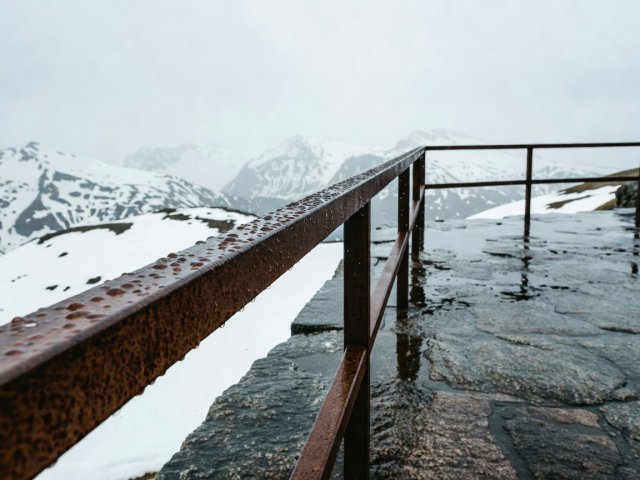
Roof of Northern Europe and the Hand-Laid Stone Road
Climbing from the emerald meltwater of Lustrafjorden to a summit of 1,434 metres at Fantesteinen, Sognefjellet (Fv55 between Lom and Gaupne, 108 km) is Northern Europe’s highest mountain pass road. Rather than rushing straight through, stop at Nedre Oscarshaug for the glass spotting-scope ring indexing the Hurrungane peaks, or walk thirty minutes across glacially polished gneiss slabs from the Mefjellet stone sculpture out into the quiet tundra.
Just north of Jotunheimen, Gamle Strynefjellsvegen (Fv258, 27 km between Grotli and Videseter) preserves the 1894 road surface built by Swedish and Norwegian stonemasons using hand-wedged granite guardstones. Much of the route remains unpaved gravel; it opens later in June than paved highways and forbids long vehicles, keeping the turquoise glacial waters of Tystigbreen remarkably serene.
Over the Snow Road Above the Tunnel
While heavy transport ducks into the 24.5-kilometre Lærdal Tunnel below, the old summer pass of Aurlandsfjellet (47 km between Aurlandsvangen and Lærdalsøyri) climbs past the laminated larch-and-steel ramp of Stegastein Viewpoint (650 metres above the Aurlandsfjord) onto a stark, windswept plateau at 1,306 metres.
Plateau Horizons and Snowmelt Cataracts
In late spring and early summer, Norway’s waterfalls reach peak volume. Along Rv7 descending from the wide reindeer plateau of Hardangervidda into Måbødalen, Vøringsfossen plunges 182 metres into a shadowy canyon spanned by Carl-Viggo Hølmebakk’s stepped steel footbridge. Further south in Hardanger and Ryfylke, Steinsdalsfossen lets walkers pass dry-shod behind the curtain of water on a wet slate path, while Svandalsfossen (Fv520) sends spray straight across the road surface.
For a quieter waterfall corridor, drive Gaularfjellet (Fv613 & Fv55, 114 km between Balestrand and Moskog). The cantilevered concrete triangle of Utsikten perches at the top of the nine Bøyaøyri hairpins, and the Fossestien ("Waterfall Trail") offers 21 kilometres of gentle streamside walking past fourteen cascades and dark trout pools.
| Highland Route | Peak Elevation | Typical Open Window | Key Waterfall / Viewpoint |
|---|---|---|---|
| Sognefjellet (Fv55) | 1,434 m | Early May – November | Mefjellet, Sognefjellshytta & Liasanden |
| Aurlandsfjellet (Fv243) | 1,306 m | June 1 – Mid-October | Stegastein, Flotane solar rest area & Vedahaugane |
| Gamle Strynefjellsvegen (Fv258) | 1,139 m | Mid-June – September/October | Øvstefoss boardwalk & Videfossen |
| Trollstigen – Geiranger (Fv63) | 1,038 m | Late May – October (check rockfall works) | Stigfossen bridge, Gudbrandsjuvet & Ørnesvingen |
| Gaularfjellet (Fv613) | 748 m | May – November | Utsikten platform & Likholefossen suspension bridge |